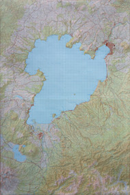
 Example of four laminated Topographical map areas: BG35, BG36, BH35, BH36.
Maps and Charts
- NZ Topographical Maps
- NZ Maps
- Marine Charts
- Overseas Maps: Europe, USA, South America, Asia
- Travel Guides
- Globes
You can cut, join, and laminate two, four, or six maps together to create one larger map.
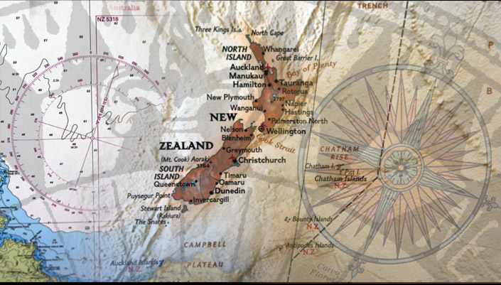
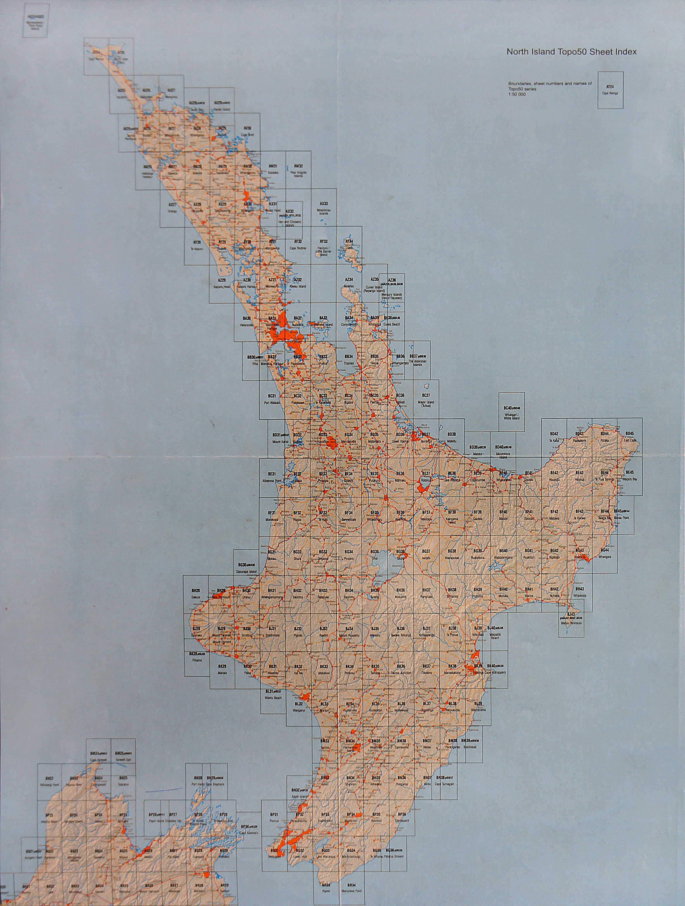
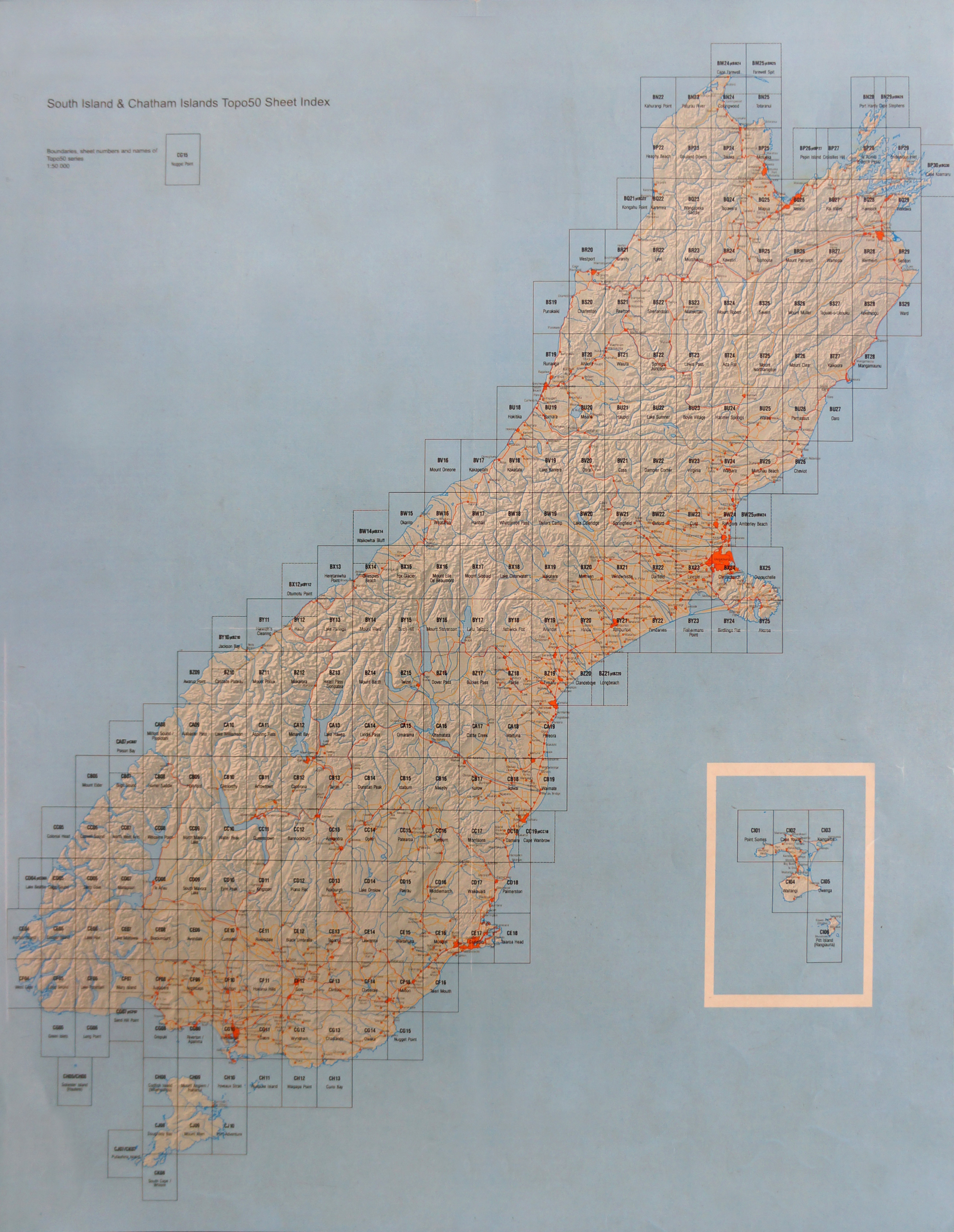
Below are the North and South Island Index sheets for New Zealand Topographical maps, click either thumbnail to view a larger version for your reference. Please state area code when ordering.
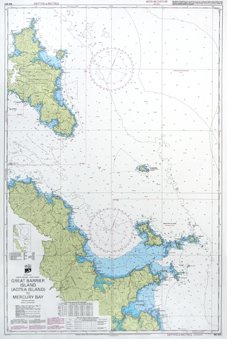
Marine Charts
Marine Charts can be laminated, folded or rolled to go with a bag for your boat or kayak
You can get your Marine Chart laminated, block mounted or framed for your bach wall.
To view a larger version of the Marine chart, click the thumbnail below